
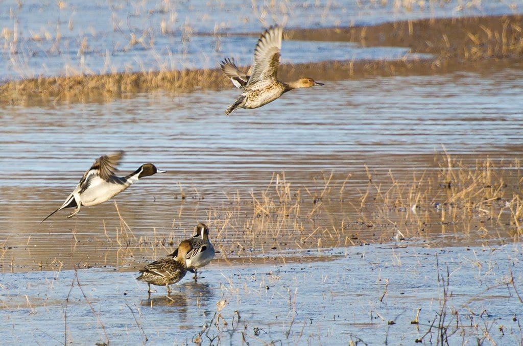
Approximately 2.1 million acres of intact grassland habitat in the U.S. and Canadian Great Plains were plowed under for row-crop production in 2018, according to World Wildlife Fund’s (WWF) 2020 Plowprint Report. The report finds that a nearly equal amount—2 million acres of prairie was transitioned from row-crop production to perennial cover, through grassland restoration projects, the planting of perennial forage species such as alfalfa, or natural processes. While the increase in perennial cover is an encouraging trend, these lands are not a replacement for intact grasslands and can take decades to approximate the environmental value of undisturbed native habitat.
“The Great Plains, home to iconic species, Native nations, and rural communities, is an ecosystem in which nature is essential to culture and livelihoods,” said Martha Kauffman, managing director of WWF’s Northern Great Plains program. “A healthy prairie provides clean water, stores carbon, supports wildlife, and provides livelihoods for communities; and yet since 2014 we’ve been losing them at an average rate of four football fields per minute. Restoration projects are our best tool for repairing disturbed grasslands, but there is no real substitute for landowners, the private sector, and government working together to keep healthy grasslands from falling under the plow.”
In the Northern Great Plains (NGP) region alone, approximately 550,000 acres were tilled and 440,000 returned to perennial cover. Wheat production was the greatest driver of grasslands loss within the NGP, occupying 41% of newly-tilled land. Other drivers include corn at 9% and soy at 7%.
Prairie Report
Accompanying the 2020 Plowprint Report is a new interactive online tool that allows users to select regions of interest within the Great Plains and identify the acres of intact grassland, how much grassland has been converted to row-crop agriculture, and how much previously converted land has returned to perennial cover. This first-of-its-kind tool for tracking cumulative grassland loss incorporates data from 2009 onward and will allow anyone to monitor the status of one of North America’s most critical ecosystems. The tool can be accessed at www.plowprint.org.
The 2020 Plowprint Report also tracks grasslands loss within the Great Plains portion of northern Mexico for the first time, helping to fill a critical knowledge gap. Future Plowprint Reports will include updates of habitat conversion in this region.
Source: World Wildlife Fund