
Hunting Public Land? There’s an App for That
Feature Article by PAUL FUZINSKI
LISTEN: (3 min, 6 sec)
PUBLIC LAND HUNTING in Texas and across the country has always come with two challenges: finding the right place to go and then learning how to navigate it once you get there. In the old days, hunters carried folded topo maps, compass bearings, and maybe a worn-out county atlas.
Today, a smartphone can put the same tools and a whole lot more right in your pocket.
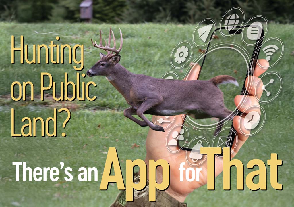
Apps designed for hunters now combine GPS navigation, aerial imagery, and property boundary data in one simple platform.
Programs like OnX Hunt, HuntStand, and BaseMap allow you to see exactly where you are standing, what land ownership looks like, and whether you are crossing a line you should not cross. For public land hunters, this is huge. It means you can confidently work the edge of a wildlife management area or national forest, knowing you are legal.
It also means you can scout from home, dropping digital waypoints on potential food plots, creek crossings, or bedding cover long before you set foot in the field.
This is particularly important in Texas, where roughly 97 percent of the land is privately owned. That leaves only a small slice open to the general public, making every acre of wildlife management areas, national forests, and walk-in properties extremely valuable. Digital maps help hunters make the most of these limited opportunities, ensuring they do not accidentally wander across a boundary and giving them confidence to fully explore what is available.
Another advantage is customization. Many apps let you download offline maps, so you are not stranded without service in a remote canyon or pine thicket. You can layer on satellite imagery, USGS topographic lines, or even vegetation overlays to help identify likely game habitat. And when you do make a find—a rub line, a hidden waterhole, or a turkey roost—you can mark it instantly and return later with precision.
Hunters are also using these digital tools to connect the dots between habitat and hunting pressure. By studying access roads, terrain bottlenecks, and water sources, you can predict where deer or hogs might slip away from crowded parking areas and push deeper into the backcountry. That edge is especially valuable on heavily hunted public lands where animals learn quickly to avoid the obvious spots.
Of course, the smartphone is not a replacement for woodsmanship. Batteries die, screens crack, and GPS accuracy is not perfect under heavy canopy. Seasoned hunters know to carry a compass, paper map, and backup plan. But when used wisely, these apps give you the confidence to explore further and hunt smarter.
With so little public land in Texas, every acre counts. Having a smartphone loaded with the right maps can unlock hidden corners, keep you safe and legal, and give you the best chance of success. In today’s digital age, the map in your pocket might be just as valuable as the rifle on your shoulder.
—story by PAUL FUZINSKI
DIGITAL BONUS: Finding a Texas Public Hunt