
Residents should not be alarmed if they see low-flying planes or helicopter over parts of West Texas and South-Central New Mexico starting in early November.
This survey is one of five airborne geophysical campaigns funded by the USGS’s Earth Mapping Resource Initiative (Earth MRI) project in late 2020 and early 2021; these surveys are being conducted across various parts of the United States. The surveys will help increase the understanding of the geology in areas that may host mineral deposits that contain essential critical minerals. The new data will also help the region understand energy and groundwater resources as well as define concealed geologic structures that may be related to geologic hazards, such as earthquakes. Data collected as part of all five surveys will be made public and used to guide more detailed geologic mapping at local scales.
When the data analysis is complete, results will provide state-of-the-art, subsurface maps that will contribute to a wide range of 3D representations of the nation’s exposed and concealed geology. Earth MRI is a cooperative effort among the USGS, the Association of American State Geologists and other federal, state and private sector organizations to improve knowledge of the geologic framework in the United States.
The survey will not be conducted over Ysleta del Sur Pueblo tribal lands located inside the survey area.
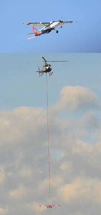
The flights will occur at an altitude of 350 to 1500 feet above ground, and instruments on the airplane will passively detect variations in the Earth’s naturally occurring magnetic field and radiation. These variations are created by different rock types at and beneath the Earth’s surface. None of the instruments carried on the aircraft pose a health risk to people or animals.
Because flights are being conducted during local hunting season, USGS and its contractors are taking steps to limit hunting effects, including
- survey flying will take place during the daytime, thus avoiding the prime times for deer hunting, usually dusk and dawn;
- following flight paths that minimize the amount of time the airplane operates in any one area on any given day; and
- attempting to identify specific hunting areas of concern and when those areas are most sensitive, so the survey crew can fly those areas when they are least sensitive.
Experienced pilots specially trained and approved for low-level flying will operate the aircraft. All flights will occur during daylight hours and are coordinated with the Federal Aviation Administration to ensure accordance with U.S. law. Van Horn airport will be used as the base for the fixed-wing aircraft for the entire survey, and helicopter surveys will be used in the Hueco, Cornudas, and Sierra Blanca Mountains. For their base, helicopters will use the Van Horn Airport, and possibly the El Paso or Dell City airports as well.
For any further questions, please contact Mark Bultman at mbultman@usgs.gov.
Source: U.S. Geological Survey